

Earth scientists have access to growing volumes of information, from satellite imagery and geological maps to sensor readings, historical records and scientific literature. Yet much of that knowledge remains fragmented, stored in different formats, held by separate institutions or difficult to access without specialist infrastructure.
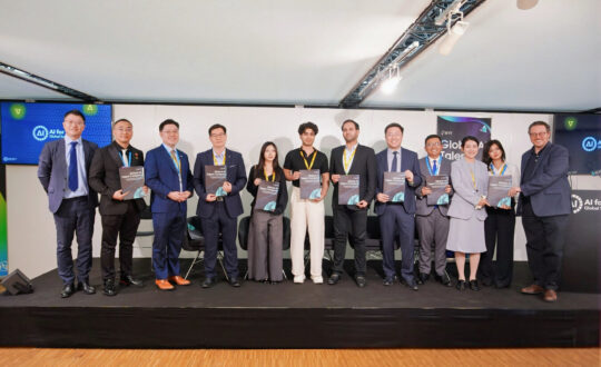
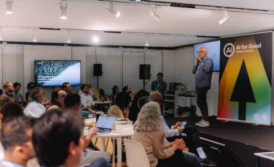
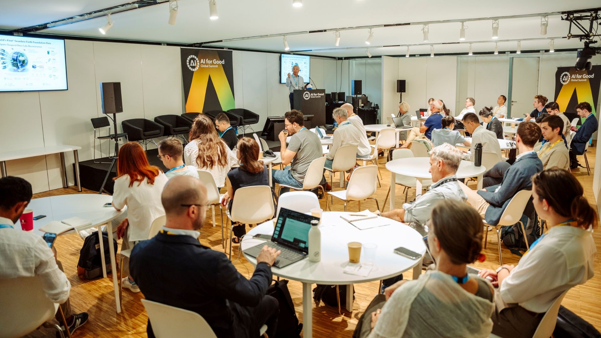
This gap between the availability of Earth data and the ability to use it formed the central thread of the workshop GeoGPT and OneEarth: Empowering global geoscientists, organized by Zhejiang Lab through its Deep-time Digital Earth International Research Center at the AI for Good Global Summit 2026.
Dr. Yitian Xiao, Chief Scientist of the Zhejiang Deep-time Digital Earth International Research Center, organized and moderated the workshop. In his opening remarks, he highlighted recent progress in GeoGPT and OneEarth, and introduced the invited speakers and panelists. Dr. Xiao emphasized that Earth science problems are inherently multi-model, multi-scale, multi-physics and multi-temporal, and that addressing major Earth challenges requires the integrate observations, physical principles, numerical models, uncertainty, and domain expertise into end-to-end workflows, moving from task automation toward hypothesis testing, scientific reasoning, and ultimately discovery.
Dr. Xiao emphasised that the paradigm shift for Earth science research requires much more than connecting an LLM to data and tools. It is data + physics + scientific knowledge + AI. It’s “Science-led, AI-enabled. Agent-executed, expert-judged.”
The workshop presented GeoGPT, OneEarth and iEarth as parts of a broader effort to make AI-enabled geoscience more open, accessible and collaborative.
GeoGPT: an open-source AI system for geoscience
John Ludden, co-chair of the GeoGPT Governance Committee and former Executive Director of the British Geological Survey, opened by addressing the difficulties that have historically limited data sharing in geoscience. Geological information is distributed across institutional databases, national repositories, scientific publications and individual researchers’ computers. It can include large satellite datasets as well as specialized records collected through sensors, fieldwork and historical studies. These sources often use different formats and levels of documentation, making them difficult to combine. Some geological data also have commercial value in areas such as energy and mineral exploration, creating further restrictions around access.
Ludden explained that previous initiatives, including OneGeology, EarthCube and Deep-time Digital Earth, had attempted to integrate geoscience information. Their experience showed that building shared platforms depends not only on technical infrastructure, but also on persuading institutions and researchers to make data available.
Access to scientific literature presents another constraint. Much of the legacy knowledge needed to support geoscience models remains behind publisher paywalls.
From information retrieval to scientific workflows
Against this background, Grant Michael Boquet, senior research fellow and project director for GeoGPT, presented GeoGPT as an open-source AI system designed specifically for geoscience. Rather than functioning only as a general-purpose chatbot, GeoGPT is intended to help researchers identify the information required for a scientific question and connect the tools needed to analyse it.
A user might ask whether a particular area contains a mineral resource, how construction could affect local ecosystems or what data are needed to evaluate a geological risk. The system can help clarify the question, locate relevant information and support the production of maps, datasets, models or code.
Boquet described a Smart GIS agent that combines data retrieval, digitization, mapping and analysis. He also presented the Zero-to-X research workbench, which can help researchers adapt methods described in scientific papers by extracting an algorithm, locating suitable datasets and supporting an experiment.
This reflects the complexity of geoscience research, where answering a question may require reading maps, transforming unfamiliar file formats, cleaning data and running models rather than simply retrieving a written answer.
GeoGPT’s models, training source code and datasets are progressively being made available through GitHub, Hugging Face and ModelScope. The initiative has also been extended into a fossil taxonomy assistant and the digitization of the paleontological Treatise.
Boquet said GeoGPT has more than 50,000 active users across 135 countries. Its training program has reached more than 22,000 geoscientists in Africa, exceeding its initial target of 20,000.
Connecting Earth’s systems
While GeoGPT focuses on scientific questions and workflows, OneEarth extends the ambition to the scale of the Earth system itself.
Richard Chuchla, co-chair of the GeoGPT Governance Committee, presented OneEarth as a long-term initiative intended to connect models of the lithosphere, hydrosphere, biosphere and atmosphere rather than treating them as separate domains. Questions involving climate, biodiversity, geological hazards or natural resources can require researchers to consider physical, chemical and biological processes operating across different spatial and temporal scales. However, many existing models remain specialized and isolated from one another.
OneEarth is envisioned as an evolving representation of the Earth system that combines scientific models, observations and AI-supported analysis. The aim is to support questions that cannot be answered by examining one part of the Earth independently.
Peng Gong presented iEarth from the perspective of remote sensing and Earth observation. The project has produced a global 30-meter dataset covering 2000 to 2025.
According to Gong, the system compresses more than 10 petabytes of raw satellite imagery into approximately 2.5 terabytes through embedded representations. This allows researchers to work with a long historical record of Earth-observation data without relying on dedicated supercomputing infrastructure.
The data can support mapping, classification, change detection and decision-making for areas such as disaster prevention and mitigation.
GeoGPT, OneEarth and iEarth therefore address different parts of the same challenge: making scientific information usable, connecting models across Earth systems and widening access to large-scale datasets.
Open access and scientific knowledge
The workshop’s roundtable discussion returned to a central question: can open models function as global scientific resources if the data and literature on which they depend remain inaccessible?
Daniel Kohn, from Taylor & Francis, described how publishers are adapting scientific content for AI-enabled research. Areas of work include encouraging authors to submit material in formats that are easier for machines to process and improving the machine readability of publishers’ back catalogues.
The discussion also highlighted the need to balance open access with protection against commercial reuse. James McBreen, from the International Union for Conservation of Nature (IUCN) said daily queries to the IUCN Red List had increased from approximately one million to more than eight million as large language models began accessing its data.
The Red List is available for non-commercial use, but new arrangements have become necessary to prevent its information from being collected, repackaged and sold without recognizing the scientific networks that produced it.
The example showed that openness involves questions of access, ownership and stewardship, as well as technical availability.
Mike Stephenson, Founding President of Deep-time Digital Earth, presented the fossil taxonomy assistant as another example. The tool uses original scientific descriptions to help researchers identify and classify fossil species and currently covers approximately 4,500 species.
Stephenson said its expansion is limited by the fact that around 80 percent of the relevant paleontological literature remains behind paywalls. Speakers emphasized that such restrictions create particular barriers for scientists in institutions and regions with fewer resources.
From shared tools to shared science
The final discussion considered what collaboration around AI and Earth science could achieve over the next five years.
Ludden proposed beginning OneEarth with a limited number of developed digital twins, such as a basin, city, forest or volcano. Demonstrating their value through focused applications could provide a foundation for expanding the wider Earth-system initiative. Other proposals included preserving historical scientific records, expanding the taxonomy assistant and using integrated Earth data to improve early-warning systems for environmental and natural hazards.
The workshop showed that the development of AI-enabled geoscience will depend on more than individual models. It will also require shared approaches to data access, scientific publishing, international collaboration and participation from researchers across different disciplines and regions.
GeoGPT, OneEarth and iEarth offer different approaches to connecting data, models and scientific workflows. Their development reflects a broader principle raised throughout the workshop: global Earth science requires not only shared tools, but shared access to the knowledge behind them.