

A new image of every point on the Earth’s landmass, captured once every 24 hours, with the ability to zoom in on specific locations at higher resolution.
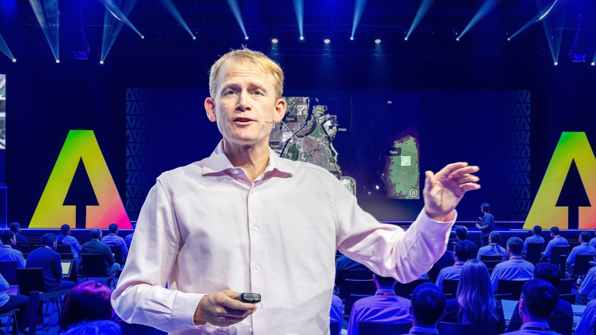
This is how Will Marshall, co-founder and CEO of Planet, introduced the scale of the company’s Earth observation system during the session “Planetary intelligence: AI for the 21st century Earth”.
Founded more than ten years ago, Planet’s mission, Marshall explained, is “to help us take care of our beautiful home, the earth.”
The launch of satellites into space has become increasingly commonplace. The day before the session, Planet launched its latest satellite, its 736th, from Vandenberg Air Force Base in California aboard the company’s 42nd rocket launch.
Planet’s fleet of approximately 200 satellites captures millions of images each day, covering more than 200 million square kilometres. For each point on the Earth’s landmass, the company has accumulated an average of 3,000 images documenting change over time.
This information is made available through a platform Marshall compared to a “Bloomberg Terminal for Earth Data,” serving organisations across agriculture, insurance, disaster response, conservation and security.
But what use does the world have for all this data?
Detecting deforestation before it happens
Deforestation in the Amazon offers one answer. AI is used not only to monitor areas that have already been cleared but also to identify early signs of deforestation, such as the emergence of illegal logging tracks, which very often precede the felling of trees. Planet provides alerts to the federal police, supporting efforts to stop illegal mining, deforestation and narcotics activity.
“They have about 100,000 people using our data to try to use these alerts to go and stop illegal mining, illegal deforestation and illegal narcotic activities,” Marshall said.
According to Marshall, these combined tools and interventions have contributed to a 60% reduction in deforestation rates over the past two years. The example illustrates a wider principle behind Planet’s work: frequent satellite imagery can reveal changes early enough for organisations to act, rather than simply documenting the consequences afterwards
Supporting disaster response
Planet’s work goes beyond environmental monitoring. Disaster response is another area of activity. Rather than offering only before-and-after images, the analysis provided first responders with building-level information that could support emergency operations.
This capability was developed through a partnership between Planet and Microsoft. Earlier in the Summit, Microsoft President Brad Smith presented the model and announced that it would be released for broader use.
Marshall explained that the partnership enables rapid building-damage assessments following fires, floods and earthquakes, helping first responders identify where assistance may be needed most urgently.
Making the Earth searchable
These applications depend on specialist teams capable of processing large volumes of satellite imagery. For many smaller organisations, businesses and countries, however, that expertise may not be readily available.
Marshall presented planetary intelligence as a way to bridge this gap.
The idea is to combine Earth observation data with AI so that users can search, interpret and analyse changes across the physical world through natural-language requests. Marshall compared the ambition to the way search engines indexed the internet, with Planet seeking to make the Earth searchable across both space and time.
Towards the end of the session, the audience was able to see the Planet appwhich was released in beta for early access during the Summit.
The interface resembles a digital map, with a timeline allowing users to explore daily imagery dating back ten years. Users can ask the application to describe what it sees, analyse changes over time, write code and produce graphs based on satellite data. It can also search for specific objects across the planet. Marshall demonstrated this through the example of finding “blue boats near green bridges on a lake” anywhere on Earth in a matter of seconds. For a more extensive analysis, it also provides a deep research mode capable of producing reports. In one example, it examined the construction of data centres across China, identifying locations and analysing how development had progressed over time.
However, the tool has limitations: like any AI system, it can occasionally experience hallucinations, and it cannot dependably count objects, recognise very small objects, or provide driving directions. Marshall stressed that users must question its outputs carefully and understand what satellite imagery can and cannot reveal.
Democratising access to Earth data
For Marshall, the wider objective is to make satellite intelligence available beyond the governments, corporations and specialist teams that have traditionally had the resources to use it.
“The ultimate vision of this is to democratize this, all this Earth data and make it the foundation of people’s response,”he said.
Many organisations already rely on satellite imagery when planning their activities, particularly in conservation, humanitarian response and research. Planetary intelligence is intended to make that information easier to access, interpret and apply.Marshall describes everything outlined above as “phase one” of planetary intelligence. A second phase could eventually bring Earth observation sensors and computing infrastructure closer together in space, allowing information to be processed more rapidly near the point where it is collected.
Looking beyond individual applications, Marshall argued that planetary intelligence could support better decisions on issues such as deforestation, disaster response, agriculture and security. By grounding AI systems in real-world information, it could also help people respond more effectively to changing conditions on the ground.
“Hopefully, that will lead us to some sort of planetary wisdom, an ability to steer this planet in the smart way that makes sense,” he concluded.
From detecting an illegal road in the Amazon to assessing damage after a wildfire, Planet’s work demonstrates how daily Earth observation can be transformed into information that supports action. Its next challenge is to make that capability accessible to far more people, allowing them not only to observe how the planet is changing, but to respond more effectively.
The next AI for Good Global Summit will take place in Geneva during the week of 21–25 June 2027. Save the date, register your interest and join our newsletter to stay connected with the AI for Good community. Be among the first to hear about engagement opportunities and receive updates when passes for the 2027 Summit become available.