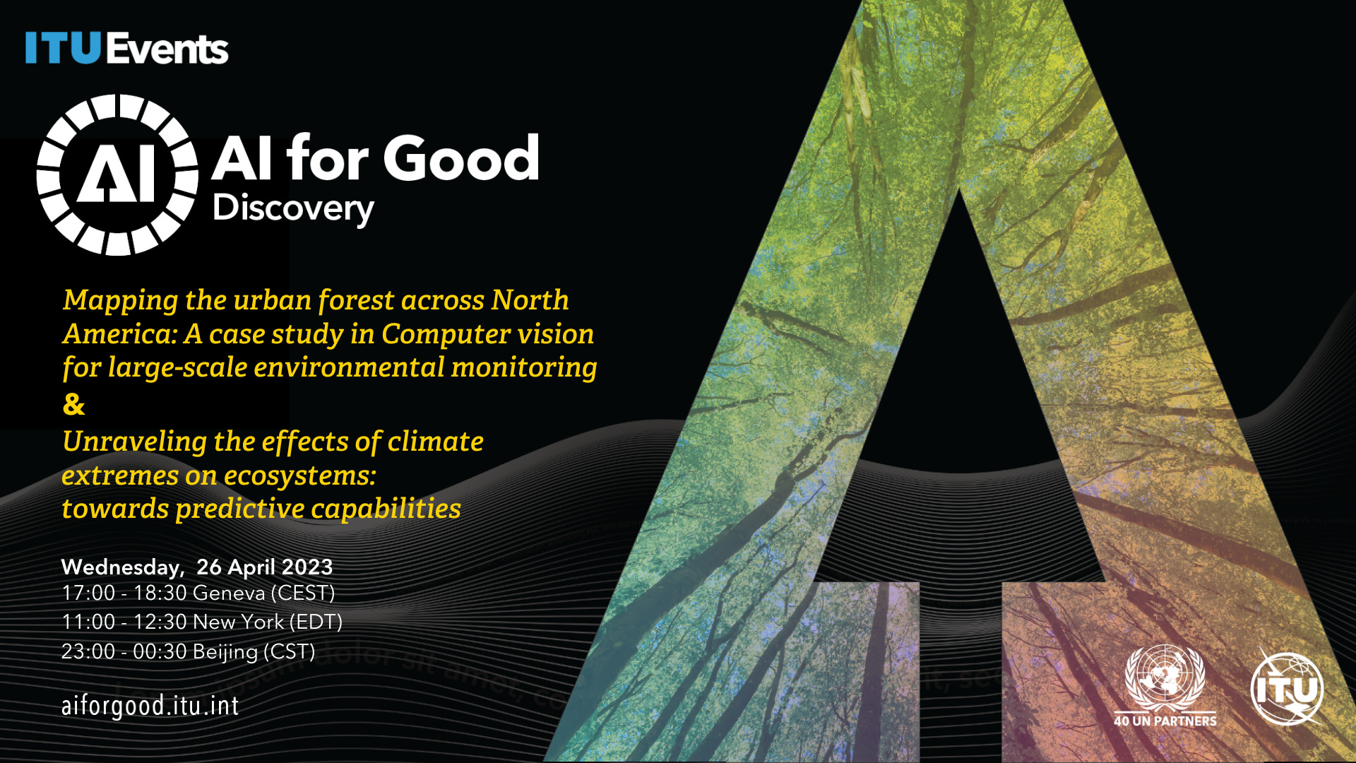
Mapping the urban forest across North America: A case study in Computer vision for large-scale environmental monitoring & Unraveling the Effects of Climate Extremes on Ecosystems: towards predictive capabilities
* Register (or log in) to the AI4G Neural Network to add this session to your agenda or watch the replay
Mapping the urban forest across North America: A case study in computer vision for large-scale environmental monitoring
Generalization to novel domains is a fundamental challenge for computer vision. Near-perfect accuracy on benchmarks is common, but these models do not work as expected when deployed outside of the training distribution. To build computer vision systems that solve real-world problems at global scale, we need benchmarks that fully capture real-world complexity, including geographic domain shift, long-tailed distributions, and data noise. We propose urban forest monitoring as an ideal testbed for studying and improving upon these computer vision challenges, while working towards filling a crucial environmental and societal need. Urban forests provide significant benefits to urban societies. However, planning and maintaining these forests is expensive. One particularly costly aspect of urban forest management is monitoring the existing trees in a city: e.g., tracking tree locations, species, and health. We introduce a new large-scale dataset that joins public tree censuses from 23 cities with a large collection of street level and aerial imagery, containing over 2.5M trees and 300 genera. This benchmark enables the exploration of automated urban forest monitoring across modalities and with respect to geographic distribution shifts, vital for such a system to be deployed at-scale.
Unraveling the effects of climate extremes on ecosystems: towards predictive capabilities
Climate change is causing an increase in the frequency and intensity of extreme events such as heatwaves and droughts, which have severe consequences on ecosystems and human well-being. Understanding the complex dynamics of these events is crucial for developing robust models and scenarios for the future. This talk will discuss the challenges and opportunities of leveraging machine learning to enhance our understanding of the impact of climate extremes on ecosystems. Using local case studies on the impacts of climate extremes on forests and other ecosystems, we will demonstrate the benefits of utilizing AI and high-resolution satellite-derived data cubes for addressing this quest. We will also present the DeepExtremes project, funded by the European Space Agency, aiming to develop explainable AI methods for global extreme event impact detection and prediction. This presentation will invite the community to address this pressing environmental issue together. By effectively combining Earth system science, Earth system data cube approaches and AI, we expect to advance the management of consequences of extreme events and contribute to the global effort to use AI for good.
This live event includes a 30-minute networking event hosted on the AI for Good Neural Network. This is your opportunity to ask questions, interact with the panelists and participants and build connections with the AI for Good community.