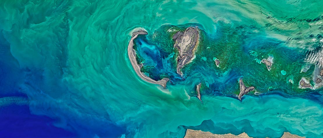
Since the birth of commercial satellite systems in the 1960s, satellites have grown to deliver a broad range of essential services to people around the globe.
They are key in delivering television broadcasting, in providing emergency telecommunications, global positioning, meteorological information, environmental monitoring, and are essential to modern communications.
And now, with radical advances in artificial intelligence (AI) we are starting to see new uses for satellite imaging and a new range of satellite applications to support sustainable development.
ITU sat down with Einar Bjørgo, Manager of UNOSAT, the United Nations Institute for Training and Research’s Operational Satellite Applications Programme, to discuss advances in satellite imaging and some of the ways that AI is enabling satellites to have greater impact for good.
“It’s a fact that satellite imagery has not been used to its full potential …. There are many good applications of satellite imagery; for example, weather forecasts. However, there is still a lot that can be done.” — Einar Bjørgo.
As he explains, satellite imaging is really benefiting from applications of AI and machine learning to train computers to interpret images.
“What we see now thanks to Big Data processing and analysis, we can train the machines using AI and machine learning to analyze satellite images at a scale never seen before… now we can really take a stab at global data sets for the global good,” says Bjørgo.
Watch the video below:
For example, agriculture and other remote sensing applications can benefit from AI technologies, “because if you can link field-based information, what we call ‘field validated data,’ with the satellite image and using Artificial Intelligence, you can produce global data sets with the information,” asserts Bjørgo.
RELATED: Water and the Data Cube Revolution: Analysis-ready satellite data for better decisions
As AI continues to grow in its reach and power, how can we continue to build trust in the security and privacy of satellite data and AI algorithms?
Bjørgo believes that, “it’s important to have transparency on this and to be completely clear on the data that are being used, how they are collected, the process… and how countries can have access to it.”


