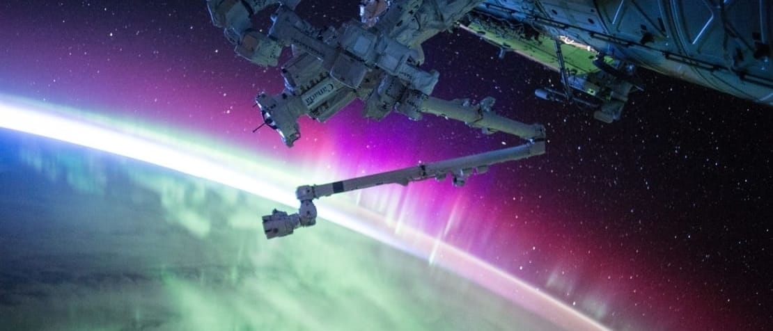
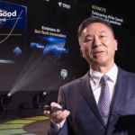
“Satellites beam to earth the equivalent of roughly 2 billion one-megapixel photographs every day. AI is the only thing that can let us see the whole world at once. Not recording it, but seeing it – creating a global real-time database of the world,” says Stuart Russell, UC-Berkeley, lead of the AI for Good breakthrough team on AI and satellite imagery.
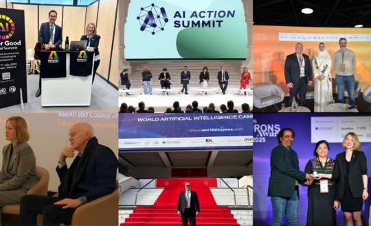
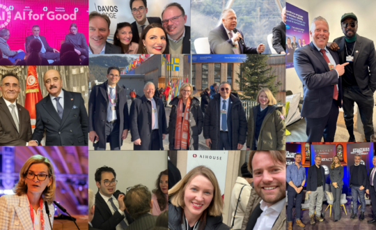
The 2nd AI for Good Global Summit connected AI innovators with public and private-sector decision-makers.
Four breakthrough teams – looking at satellite imagery, healthcare, smart cities, and trust in AI – set out to propose AI strategies and supporting projects to advance sustainable development. Teams were guided in this endeavour by an expert audience representing government, industry, academia and civil society.
RELATED: Welcome to trustfactory.ai: 9 projects to build trust in AI
The matchmaking exercise introduced problem owners to solution owners, building collaboration to take promising strategies forward.
The projects
Three projects pitched by the AI and satellite imagery breakthrough team aim to predict and prevent deforestation, track livestock with great accuracy, and provide data analytics for micro-insurance to small-hold farmers.
A potential fourth project, a ‘Project Zero’, would provide enabling infrastructure and common capabilities – a proposed ‘global service platform’ – to support AI for Good satellite imagery projects in achieving significant scale.
“Satellite imagery is a much vaster source of data than we have ever had access to.” – Stuart Russell, UC-Berkeley
“The Project Zero is to provide infrastructure to make the difference between a pilot and a global service,” says Russell.
The pitch
“We have recorded the whole world for a long time,” says Russell. Recording is not the challenge. Seeing is the challenge. The world is too complicated for humans to comprehend, but, highlights Russell, “with AI, perhaps we can.”
AI could help us to visualize the earth’s processes over long periods of time. We could look into the past to understand the causes of major global events, and similarly, satellite data could help us to predict the future.
“Satellite imagery is a much vaster source of data than we have ever had access to,” says Russell. “It has become possible to create learning models able to understand the earth’s system using satellite data.”
Watch the interview with Stuart Russell:
Satellite imagery presents AI with an abundance of challenging problems to solve. AI for Good projects will be better placed to solve these problems if supported by a ‘global service platform’, says Russell.
Russell highlights the enormous investment required to build a global service based on the analysis of satellite data. The breakthrough team’s Project Zero aims to lower this entry barrier.
A global service platform, suggests Russel, would provide enabling infrastructure for “all the imaginable applications we can ever think of for applying AI to satellite information and other kinds of data global streams that may come into existence.”
The team
Team lead: Stuart Russell (UC-Berkeley)
Team members:
- Lars Bromley and Einar Bjørgo (UNOSAT)
- Miguel Luengo-Oroz and Marguerite Nyhan (UN Global Pulse)
- Andrew Zolli (Planet)
- James Crawford (Orbital Insight)


