 Register here
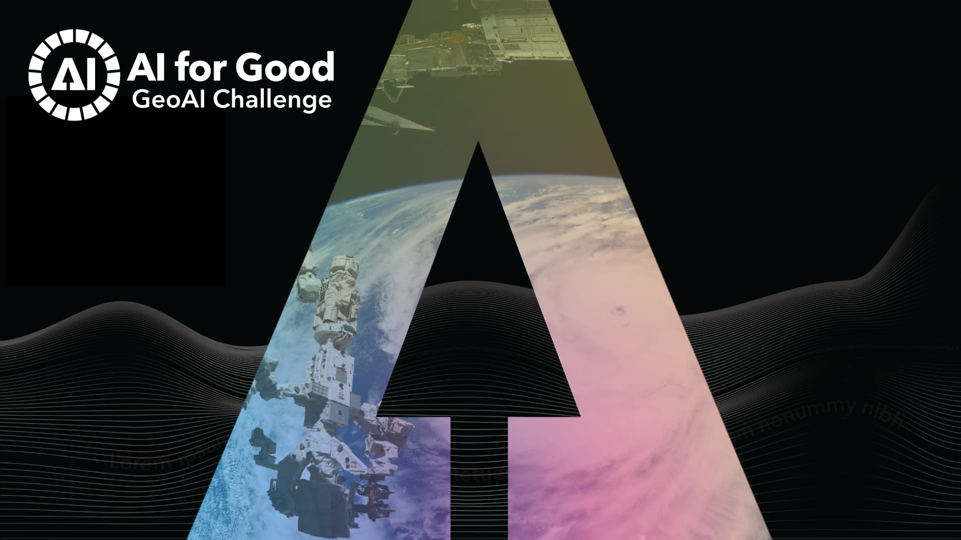
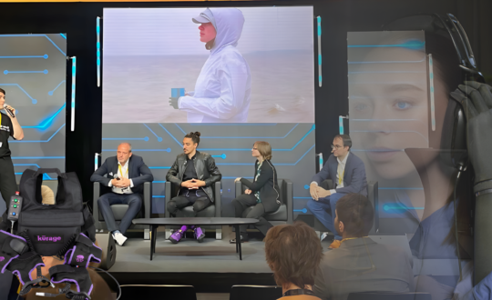
In a series of exciting live finales, the ITU GeoAI Challenge is set to award winning solutions using artificial intelligence (AI) and machine learning (ML) applied to Geospatial data to advance sustainable solutions for our planet.
Organized by AI for Good, this platform brings together problem solvers to collaboratively address real-world geospatial problems set forward by United Nations’ agencies, space agencies and a wide-range of research partners.
The year-long competition brought together hundreds of users from sixty countries including 254 users from 46 developing countries, that have competed to solve five problem statements of relevance for the SDGs on topics as diverse as landslides, air pollution, cropland mapping, soil properties and location mention recognition from social media.
The best teams from the 2023 competition will showcase their solutions, and winners will be awarded money prizes and receive certificates to recognize their outstanding performance.
Book the dates for the series ITU GeoAI Challenge Finale events this December:
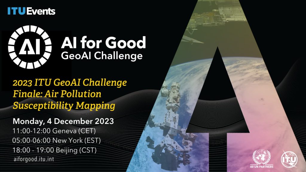
GeoLab (Politecnico di Milano) curated the Air pollution susceptibility mapping challenge, aimed to produce air pollution susceptibility maps at the city level (5m spatial resolution) which will support decision-making to improve the resilience of the city.
UNODC (United Nations Office on Drugs and Crime) and FAO (Food and Agriculture Organization of the United Nations), in the frame of the UN Open GIS Initiatives proposed the Cropland mapping with satellite imagery problem statement with the goal to encourage the development of accurate, cost-effective classification model for cropland extent mapping in selected regions using machine learning and artificial intelligence techniques.

GeoLab (Politecnico di Milano) curated the Landslide susceptibility mapping challenge, aimed to produce landslide susceptibility mapping for the Valtellina Valley, Northern Italy. Those maps can help local authorities plan and implement sustainable development measures, reduce the risk of landslides, and ensure the security of communities living in high-risk areas.
Qatar Computing Research Institute (QRCI, HBKU) and Qatar University organized the Location Mention Recognition from social media Crisis-related Text challenge, aimed to encourage the development of systems for Location Mention Recognition (LMR) from microblogs during emergencies. These automatic systems are anticipated to support the relief activities that are executed by response authorities during disasters.
ESA Φ-lab together with KP Labs, and partner QZ Solutions, curated the Estimate Soil Parameters from Hyperspectral Images challenge, to advance the state of the art for soil parameter retrieval from hyperspectral data in view of the upcoming Intuition-1 mission. Intuition-1 is a 6U-class satellite mission designed by KP Labs to observe the Earth using a hyperspectral instrument and an on-board computing unit capable of processing data using artificial intelligence in orbit. It will be the world’s first satellite with a processing power capable of advanced processing of hyperspectral images in orbit!